The Kilarc Project
Kilarc Bypass Region
Click on the pictures for a full sized photographs which are typically 2-3 MB.
Pictures taken during low flow - Late Summer 2008. These pictures could be examined for possible increases or decreases in habitat as the water were to increase by 20-50 cfs from returned Kilarc diverted flows.
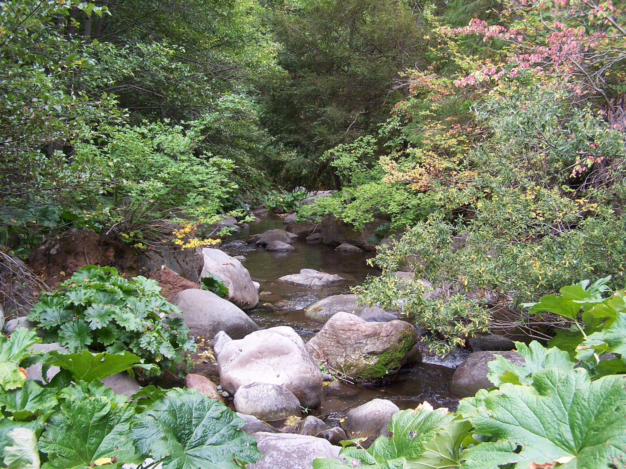 |
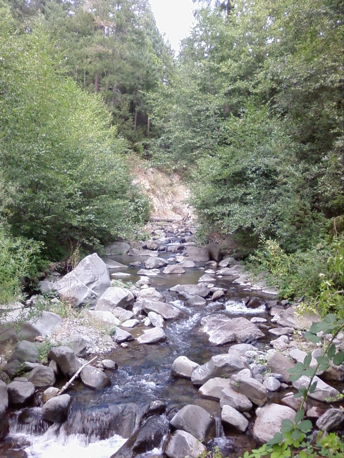
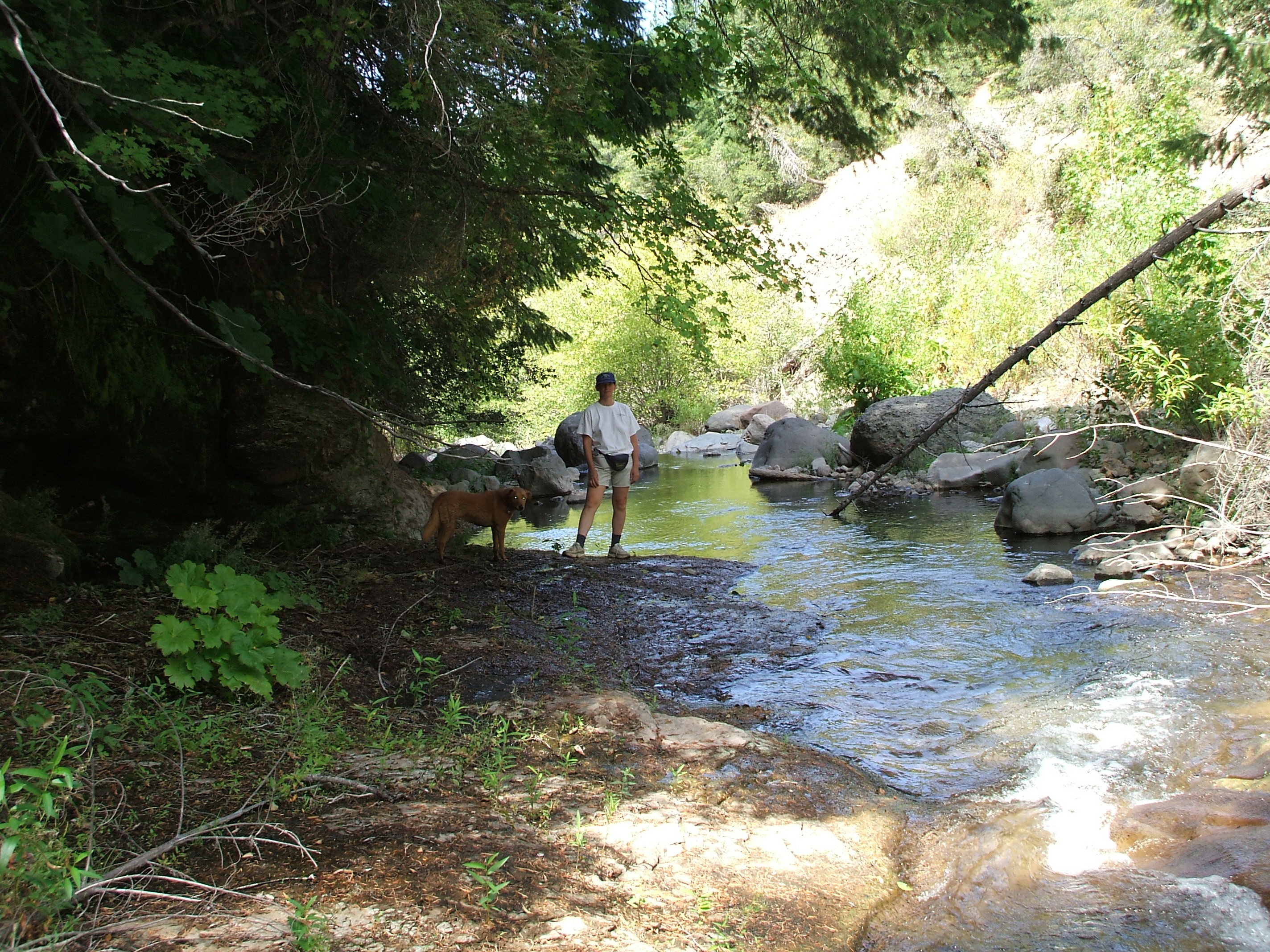
Old Cow Bypass Near Wooden Bridge This is looking downstream (West) at the lower end of the reach
from the Kilarc Diversion down to the road access above the canyon
the syphon crosses. Upsream of this area is the best adult
fish habitat in the bypass as there is some gravel and a lot of
rock and vegetative cover.
|
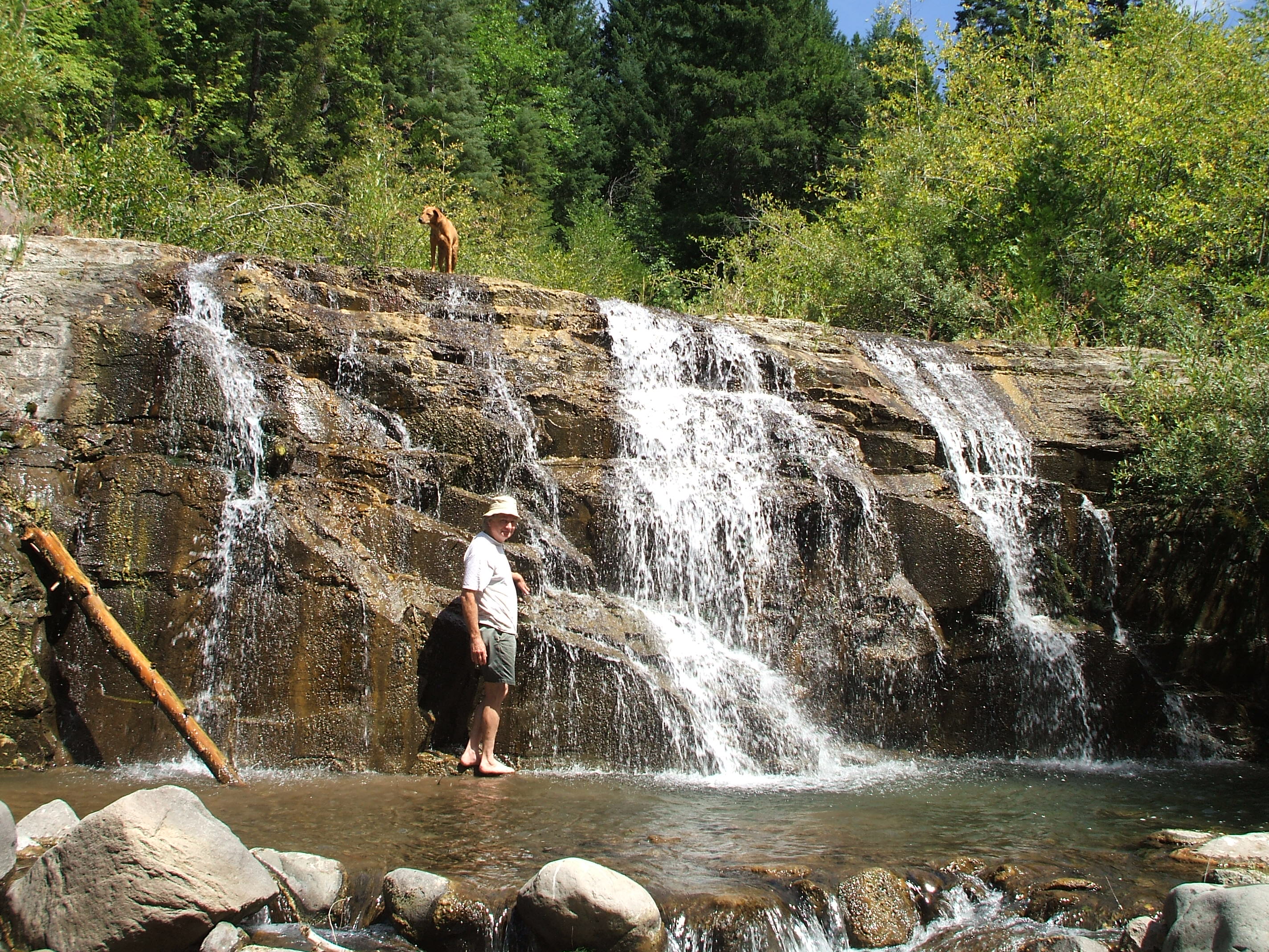 |
Barrier 11 About 12 feet. Pool is about 19" deep. Ely, with hat, is just over 6 feet high.. |
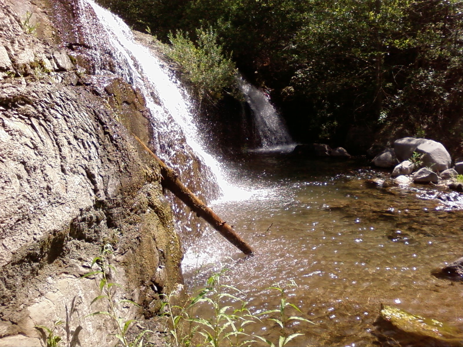 |
Barrier 11 Showing pool . |
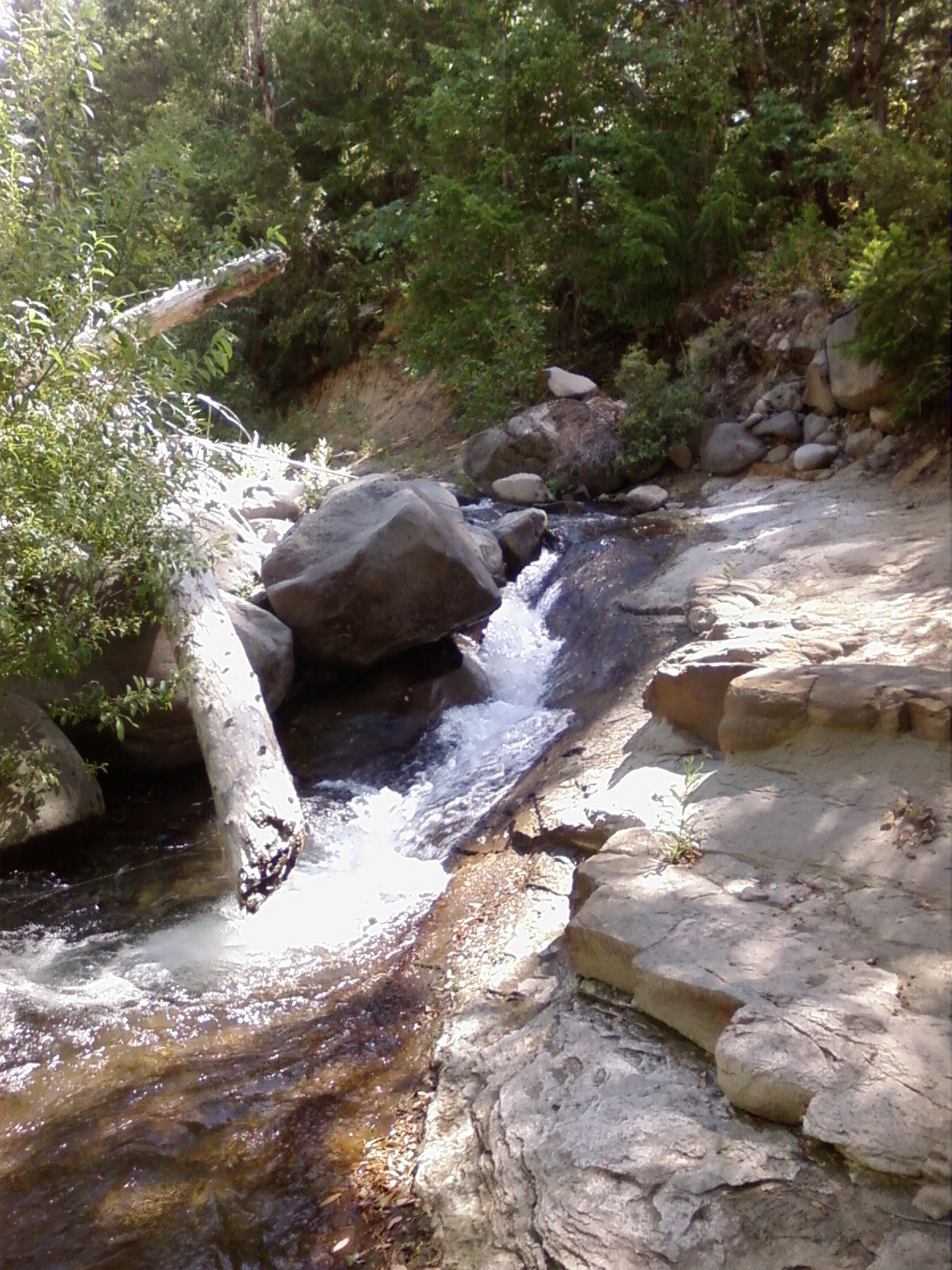 |
Typical Rock Slide between levels. Note vertical south wall next to stream bed. |
 |
Looking East Mid Bypass. Typical boulder bottom in open sections. Vertical walls on both sides. Mongolian Blackberries solid on both sides. |
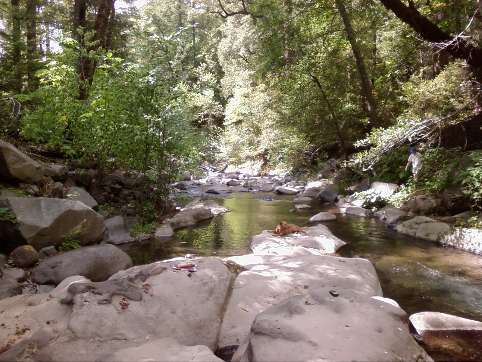 |
Jose resting from boulder hopping. Kelly coming down wall on right. Middle Mile of Bypass Rock bottom intermixed with boulders and 2' deep pools. Heavy Mongolian Blackberries on North side. This is where from Canyon comes in. |
 |
Looking East at about 1.5 miles downstream from diversion. Below Barrier 6. No cover |
 |
Just Below Barrier 11 Largest Pool Habitat with rock cover. 20 foot rock walls on both sides. |
 |
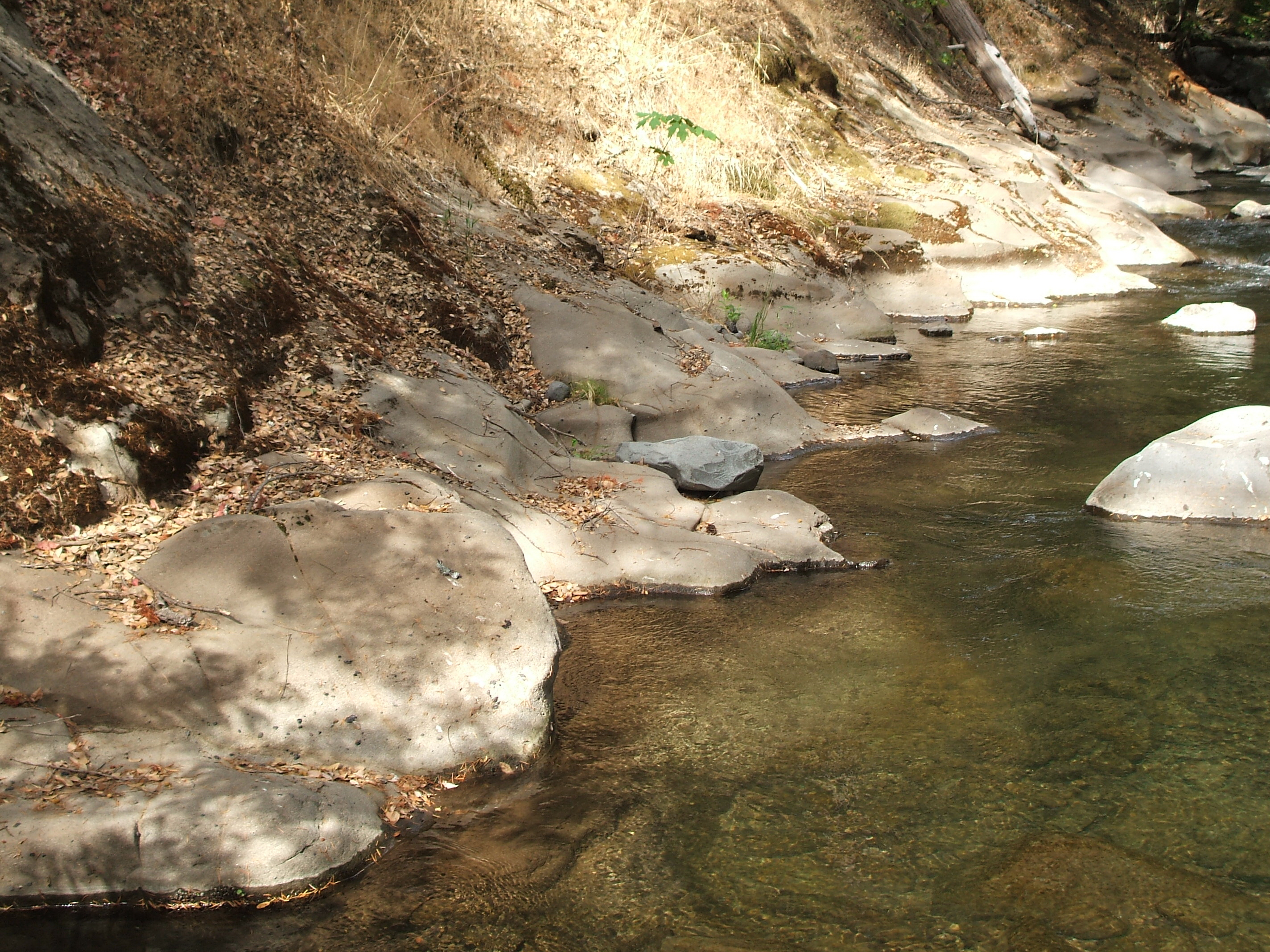
Occasional Pools exist in flat bedrock with occasional boulders. Almost all gravel and substrate blown out. |
 |
Typical about a mile below the diversion |
 |
Near barrier 9. Typical rock bottom, boulders and steep walls. |