Maps
Included here will be maps primarily relating to he Kilarc Project as
Proposed by Davis Hydro. However other maps are here that relate
to that proposed Alternative.
August 2009, PG&E has supplied this comprehensive
SET of Maps is 24 Megabytes of high resolution drawings from PG&E's
Biological Evaluation circulated for comment in August 2009. Davis
Hydro has resampled this drawing at a lower resolution, and THE SET is
available
here at 4 MB. There are significant errors, in the maps, but
this is a draft and meant only for discussion. The steelhead critical
habitat areas appear to be accurate.
This map is identical to a better one in PG&E's Draft
Biological Evaluation(Assessment) filed with FERC available here. This
draft was labeled as a work in progress, and is considered a working document.
It contains excellent discussions of many of the current issues.
The following Georeferenced Maps have detailed Lat and Long grids.
They are in use by Davis Hydro and may be useful to others:
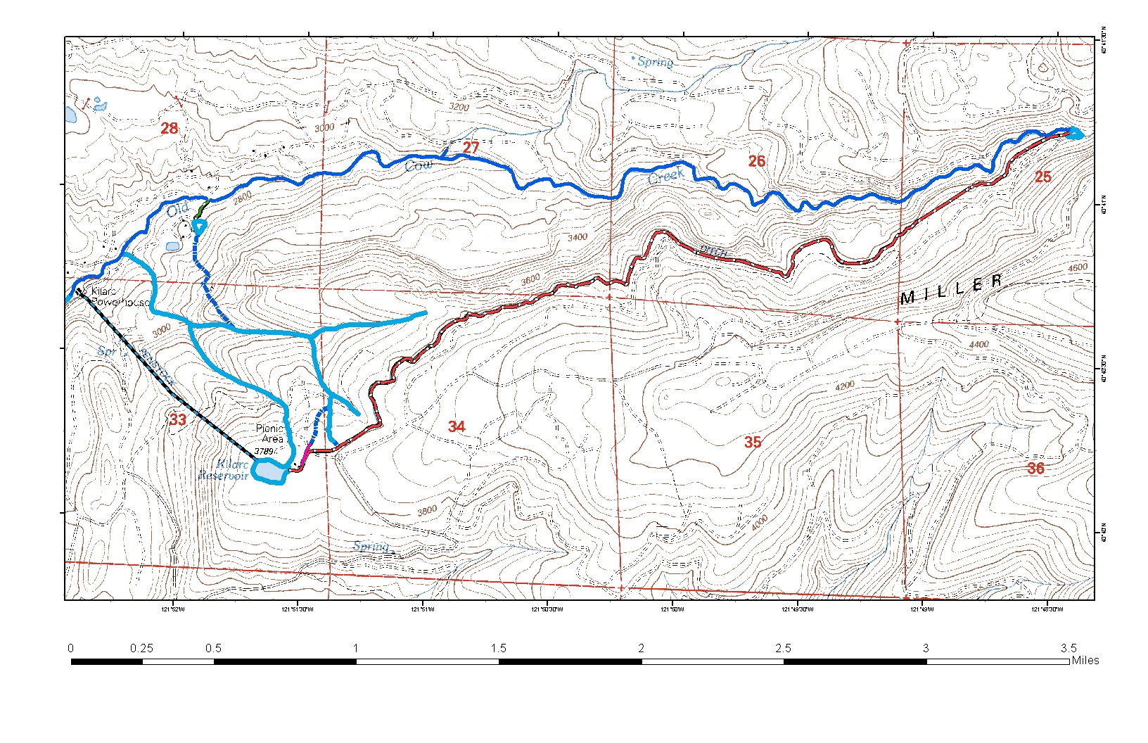
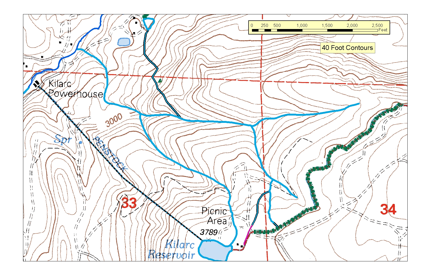
South Cow Area
Start of the
Abbott Ditch
Forebay to Abbott Ditch
Diversion,
Diversion to Forebay
Kilarc Canal area
Diversion
End of Canal
Forebay
End of Canal
The following show the fish habitats and fish bypass routes as design
progressed in Spring 2009.
6/09
The three spawning areas
6/09
The primary Kilarc fish return
6/09
The second fish return at the end of the first habitat
UNLABELED KILARC AREA MAPS
The following three drawings do not have any details on them and are
used for discussion and exchanging ideas. They were used in the
Power Point Presentation used in August 2009.
Figure 1 - The
whole Kilarc canal showing major features.
Figure
2 - The
section of the canal showing the first two upper spawning sections and
fish return features.
Figure 3 - The
lower section of the canal showing the two fish return options.
LABELED KILARC AREA MAPS
The following three drawings have labels on them and were submitted
in 2009 in the Comment Period on the PG&E proposal. They are more
complete than the above set.
Figure
1 - The whole Kilarc canal showing major features
Figure
2 - The section of the canal showing the first two Upper Spawning
sections and fish return features.
Figure
3 - The Lower Section of the canal showing the fish return options.
Additional Maps and schematics ar available from the filings of Dave
Albrich at FERC. They are primarily of the South Cow and ownership
issues near Mr. Albrich's property. Not all Albrich filings are included
in our Documents section. See the FERC E-library for a complete
filing list and source.
Home Contacts
Photos
|